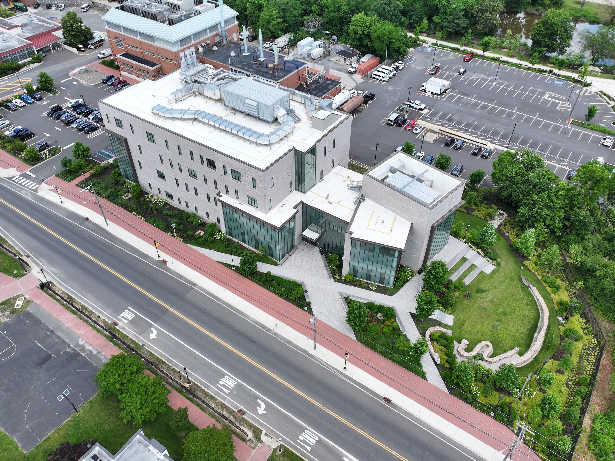
How Drone Mapping Works: The Future of Aerial Surveying and Land Analysis
Introduction: The Rise of Drone Mapping
Drone technology has revolutionized the way we capture, analyze, and visualize land. From construction sites to conservation efforts, drone mapping is rapidly becoming the go-to solution for accurate and efficient land surveying. But how does it work, and why is it such a game-changer for industries like urban planning, environmental monitoring, and real estate?
In this article, we’ll break down the fundamentals of drone mapping, how it compares to traditional surveying methods, and why businesses and organizations are investing in this cutting-edge technology.
What is Drone Mapping?
Drone mapping, also known as aerial surveying or photogrammetry, is the process of using unmanned aerial vehicles (UAVs) equipped with high-resolution cameras and sensors to capture detailed imagery of a landscape. These images are then processed using specialized software to create 3D models, topographic maps, and geospatial data that help professionals make informed decisions.
Unlike traditional surveying methods that require extensive ground measurements, drones can capture vast amounts of data in a fraction of the time while maintaining high accuracy.
How Does Drone Mapping Work?
The drone mapping process involves four key steps:
1. Flight Planning & Data Collection
Before a drone takes off, careful planning is required to ensure optimal coverage and accuracy. This involves:
Defining the survey area: Using GPS coordinates, professionals outline the specific area the drone will cover.
Setting flight parameters: This includes altitude, speed, overlap of images, and flight path optimization.
Selecting the right equipment: Different projects require different sensors, such as RGB cameras for photogrammetry, LiDAR sensors for elevation models, or thermal cameras for environmental assessments.
Once everything is set, the drone autonomously follows the planned flight path, capturing hundreds or even thousands of high-resolution images from above.
2. Image Processing & Photogrammetry
After the drone has collected aerial imagery, the data is uploaded to specialized software that stitches the images together. Using a technique called photogrammetry, the software processes overlapping images and generates:
Orthomosaic maps (high-resolution 2D aerial maps)
3D models (digital elevation and terrain models)
Point clouds (detailed, georeferenced spatial data)
The more overlap in the images, the more accurate and detailed the final model will be.
3. Data Analysis & Interpretation
Once the maps and models are created, professionals analyze the data for insights. This can include:
Measuring distances, areas, and volumes
Identifying elevation changes and terrain features
Detecting changes in vegetation or infrastructure over time
Assessing construction progress or environmental impact
4. Integration with GIS & CAD Software
For maximum usability, the processed data is often integrated into GIS (Geographic Information Systems) and CAD (Computer-Aided Design) software. This allows engineers, architects, city planners, and conservationists to make informed decisions based on real-world, high-accuracy geospatial data.
Why Drone Mapping is the Future of Land Analysis
1. Faster & More Efficient than Traditional Methods
Traditional surveying can take days or weeks, requiring extensive manual measurements and ground crews. Drones can complete the same task in just hours, significantly reducing project timelines.
2. High Accuracy & Detail
Modern drone technology, equipped with RTK (Real-Time Kinematic) GPS and LiDAR sensors, delivers survey-grade accuracy, making it reliable for precision mapping.
3. Cost-Effective & Scalable
Hiring traditional survey teams and equipment can be expensive. Drones offer a more affordable alternative with the flexibility to map both small and large areas efficiently.
4. Improved Safety
Surveying rugged, hazardous, or hard-to-reach areas (such as cliffs, construction sites, or disaster zones) can be dangerous. Drones eliminate the need for surveyors to be physically present in these environments, enhancing safety.
5. Versatile Applications Across Industries
Drone mapping is already transforming multiple industries, including:
Construction & Infrastructure: Monitoring job sites, measuring stockpiles, and tracking project progress.
Real Estate & Land Development: Creating immersive property visualizations and 3D models for marketing.
Agriculture & Forestry: Assessing crop health, monitoring deforestation, and managing land use.
Environmental Conservation: Mapping protected areas, detecting illegal deforestation, and tracking climate change impacts.
Disaster Response & Recovery: Quickly assessing damage from natural disasters to aid in relief efforts.
Case Study: Drone Mapping in Action
At McNaught Design, we recently used drone mapping for an urban planning project in Pennsylvania. The goal was to analyze topographic changes in a developing area and provide city planners with accurate 3D terrain models.
Using our advanced drones and photogrammetry software, we delivered high-resolution aerial imagery, allowing planners to visualize elevation changes, optimize infrastructure placement, and prevent potential flooding risks—all in half the time it would have taken using traditional methods.
Final Thoughts: Is Drone Mapping Right for Your Project?
If your business or organization requires accurate, cost-effective, and efficient land analysis, drone mapping is a powerful tool that can save time, money, and resources.
At McNaught Design, we specialize in custom drone mapping solutions, tailored to your unique needs. Whether you need topographic surveys, aerial imagery, or 3D models, our expertise in cartography and aerial surveying ensures precision and quality.
Need a Drone Mapping Solution? Let’s Talk!
Get in touch with us today to learn how our drone services can support your project.
📩 Contact us at: [Insert Contact Information]
🌐 Visit our website: mcnaughtdesign.com

