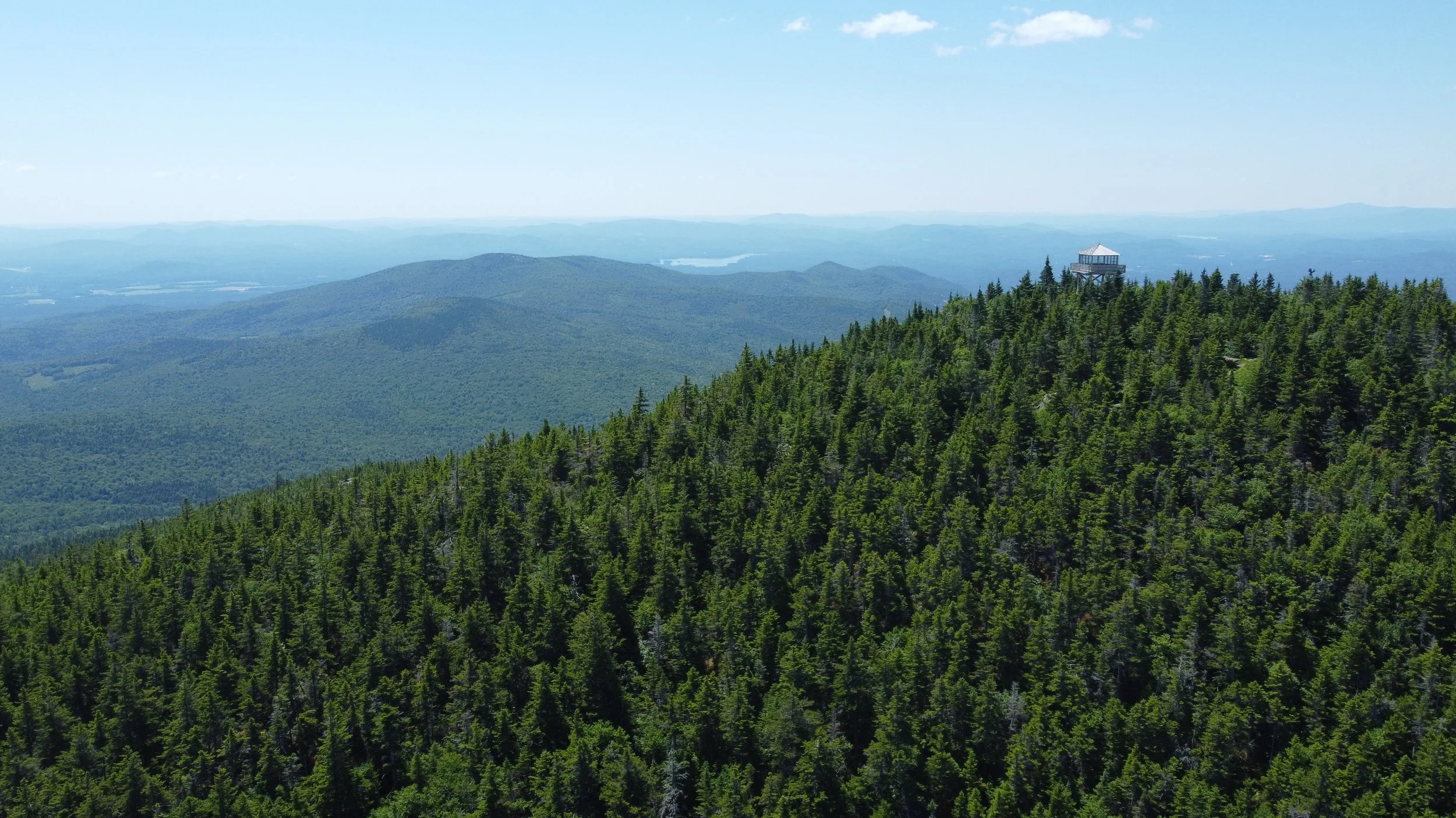
Why Land Trusts and Conservancies Need Exceptional Graphics and Maps
Photo by McNaught Design
They say, "Don’t judge a book by its cover," but let’s be honest—people do. And when it comes to land trusts and conservancies, this truth is more relevant than ever. These organizations are responsible for protecting some of the most precious landscapes, habitats, and ecosystems in the world. Yet, despite their critical mission, they often struggle to capture public attention and support. One major reason? A lack of compelling graphic design and cartographic storytelling.
The Power of a Strong Visual Identity
Land trusts and conservancies rely on community engagement, grants, and donations to continue their work. However, without a strong visual identity, they risk being overlooked in favor of causes with flashier marketing. A well designed logo, a cohesive color palette, and a visually engaging website can make a world of difference in how people perceive an organization’s credibility and importance.
Professional graphic design for nature focused organizations can transform an obscure conservation effort into a movement that inspires action. High-quality branding ensures that when someone sees a conservation group’s materials—whether online, in a brochure, or on a sign in a nature preserve—they immediately understand its mission and feel drawn to support it.
The Importance of Cartography and Trail Map Design
A land trust that protects hundreds or thousands of acres of land needs to communicate its work effectively. One of the best ways to do that is through cartography and trail map design. A detailed, well designed map can show visitors exactly what areas are protected, where trails are located, and how they can access the land. Poorly designed or outdated maps can frustrate users and even deter them from engaging with a conservation property altogether.
The original Marin Watershed Visitor Map.
Modern cartography tools allow for the creation of dynamic, interactive maps that can be integrated into websites and mobile apps. This enhances the visitor experience and builds a deeper connection between the public and the land trust. A great trail map doesn’t just direct people—it tells a story about the land, its history, and its ecological importance.
The new Marin Watershed Visitor Map by McNaught Design & TOPO Collective added rich topography and a more curated color palette. A digital version was also created on Avenza Maps for users to follow the map as they hike.
Closeup of the updated graphics and typography on the new Marin Watershed Visitor map.
The Impact of Nature Preserve Drone Imagery
In today’s digital landscape, striking visuals are key to engagement. One of the most powerful tools available to land trusts and conservancies is nature preserve drone imagery. Aerial photography showcases the scale and beauty of protected lands in a way that words or traditional ground-based photos cannot. Drone footage can highlight untouched forests, meandering rivers, or expansive wetlands, offering a bird’s eye view of conservation efforts.
Using drone imagery in marketing materials, grant applications, and social media can captivate audiences and demonstrate the tangible impact of land conservation. It allows potential donors and community members to see what’s at stake and why these lands are worth protecting.
Protected Lands in New Hampshire.
Photo by McNaught Design
Agricultural easements make up millions of acres the conserved land around the country.
Photo by McNaught Design
Elevating Conservation Through Design
The work of land trusts and conservancies is invaluable, yet without a strong visual strategy, they risk being undervalued. Investing in high quality graphic design, modern cartography, and breathtaking drone imagery can elevate an organization’s presence and ensure that its mission is seen, understood, and supported.
Nature conservation is one of the most important causes in the world. It deserves to be presented with the same level of creativity and professionalism as any other major movement. With the right visual tools, land trusts and conservancies can inspire more people to care, donate, and get involved—ultimately leading to stronger, more sustainable conservation efforts.
Work with McNaught Design
If your land trust or conservancy is ready to elevate its visual impact, McNaught Design specializes in creating stunning graphics, cartography, and drone imagery tailored for conservation organizations. Let’s work together to make your mission stand out and inspire greater support. Contact us today to learn how we can help bring your conservation story to life!


