

Why Land Trusts and Conservancies Need Exceptional Graphics and Maps
They say, "Don’t judge a book by its cover," but let’s be honest—people do. And when it comes to land trusts and conservancies, this truth is more relevant than ever.
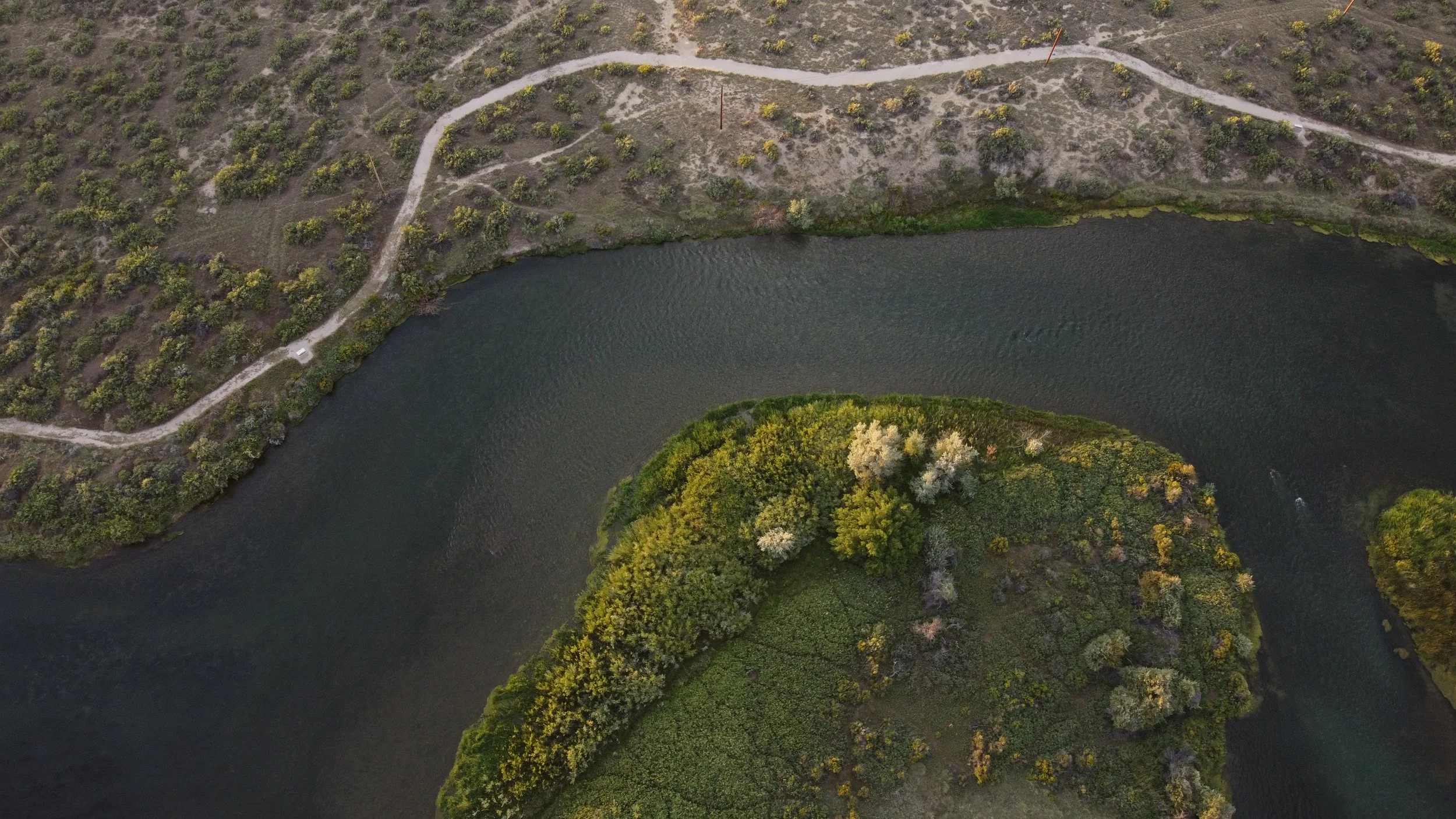
How Drone Mapping Works: The Future of Aerial Surveying and Land Analysis
Drone technology has revolutionized the way we capture, analyze, and visualize land.