

Mastering Knockout Groups for Map Design in Adobe Illustrator
Adobe Illustrator is a powerful tool for map design, and mastering a few lesser-known features can take your maps to the next level. One of those features is Knockout Groups—a hidden gem that makes map labels clean, readable, and professional.

Why Land Trusts and Conservancies Need Exceptional Graphics and Maps
They say, "Don’t judge a book by its cover," but let’s be honest—people do. And when it comes to land trusts and conservancies, this truth is more relevant than ever.
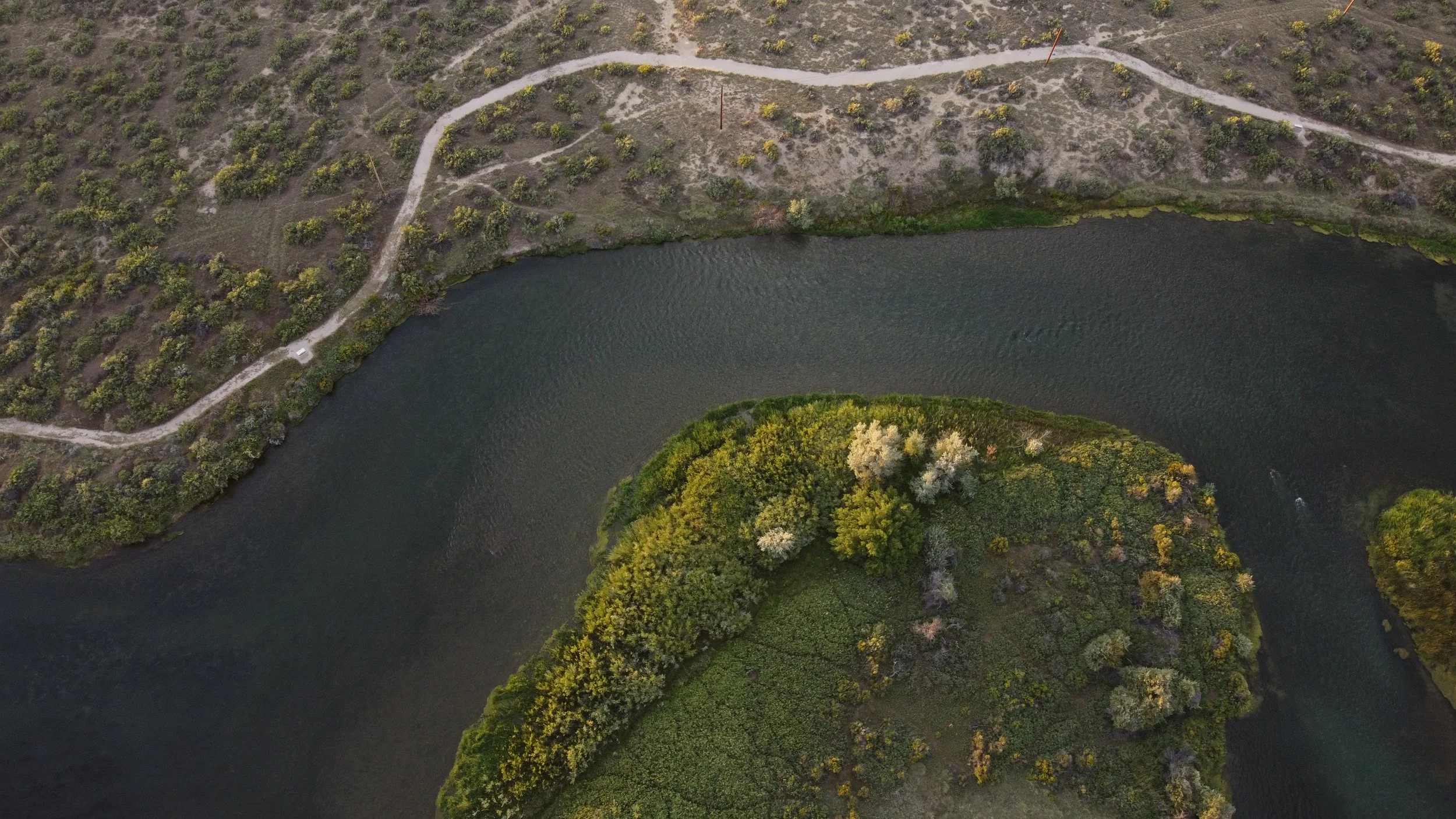
How Drone Mapping Works: The Future of Aerial Surveying and Land Analysis
Drone technology has revolutionized the way we capture, analyze, and visualize land.